Eric.MN
Well-known member
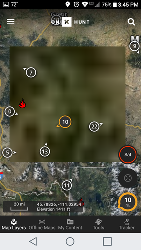
How come when I’m viewing a map zoomed in at this distance it looks like this-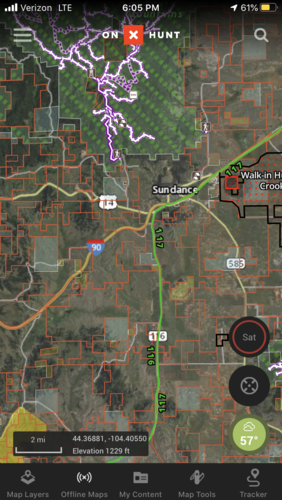
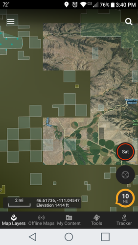
But when I try to zoom in any farther it turns to this-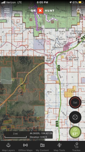
I’m in satellite mode, and newest update. Weird that some of the map is viewed at paper map like and some satellite imagery. Did I do something or am missing something?
Thanks.

But when I try to zoom in any farther it turns to this-

I’m in satellite mode, and newest update. Weird that some of the map is viewed at paper map like and some satellite imagery. Did I do something or am missing something?
Thanks.


