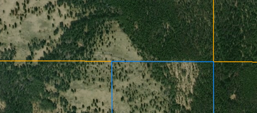
The land shown below has a couple old barb wire strands running from trees along the length of the blue horizontal line W to E to the "Corner Crossing" setting. I do not recall this view from the Cadastral in the past. Something has changed, I am 99.9% sure.
The NW and SE sections are USDA Forest Service.
Up until recently I had always considered this my corner crossing conundrum and had to hike over the other side of the ridge to reach this location. It's a pain though to avoid conflict, this has been my means to access the area.

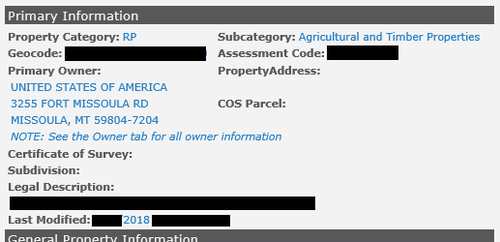
The blue section is the highlighted portion for the following snips:
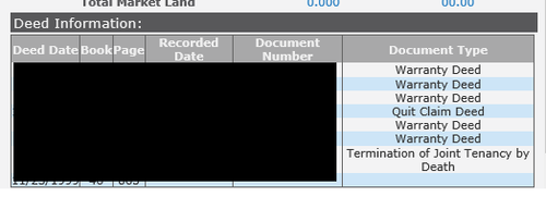
It presents itself as, "United States of America" instead of, "USDA Forest Service". Am I able to hunt this ground? Everything suggests I can though I am pretty much jaw dropped having faced that damn corner issue... Was it ever private to begin? Did they have a deed that allowed them to fence the property as it has been ever since I've hunted that ground? Basically, those fence strands stayed consistent from the horizontal orange line beginning on the W side all the way through the blue portion to the other orange square grid. The old strands of barb then continue south along the blue line, thus the corner crossing conundrum of the past.


Am I missing something or is it as simple as - Yes, this is public accessible land?
Thanks.
The NW and SE sections are USDA Forest Service.
Up until recently I had always considered this my corner crossing conundrum and had to hike over the other side of the ridge to reach this location. It's a pain though to avoid conflict, this has been my means to access the area.

The blue section is the highlighted portion for the following snips:
It presents itself as, "United States of America" instead of, "USDA Forest Service". Am I able to hunt this ground? Everything suggests I can though I am pretty much jaw dropped having faced that damn corner issue... Was it ever private to begin? Did they have a deed that allowed them to fence the property as it has been ever since I've hunted that ground? Basically, those fence strands stayed consistent from the horizontal orange line beginning on the W side all the way through the blue portion to the other orange square grid. The old strands of barb then continue south along the blue line, thus the corner crossing conundrum of the past.


Am I missing something or is it as simple as - Yes, this is public accessible land?
Thanks.
Last edited:


