junior88
Well-known member
OnX suits my needs just fine.
Follow along with the video below to see how to install our site as a web app on your home screen.
Note: This feature may not be available in some browsers.
3D maps does work on the mobile platform but I have not found a way to use 3D maps when I go "offline" (I have even downloaded maps thinking that I could then use 3D offline in the downloaded area but it does not seem to work)Thanks for the reply. Does the 3D maps work on the mobile platform? Online and/offline?
The 3D maps work great on Mobile! You do need to be online in order to use the 3D Functionality.Thanks for the reply. Does the 3D maps work on the mobile platform? Online and/offline?
Yes, the 3D maps are only available online at the moment. But, our team has definitely looked into offline capabilities.3D maps does work on the mobile platform but I have not found a way to use 3D maps when I go "offline" (I have even downloaded maps thinking that I could then use 3D offline in the downloaded area but it does not seem to work)
To me not being able to use 3D maps while offline kinda defeats the purpose. I have also found that 3D maps are somewhat glitchy on mobile and the app tends to lag (this may be because my phone is a few years old). I am going to give the GoHunt maps a try because it comes with my insider account but so far I am finding that OnX provides better satellite imagery in my opinion and the app seems to function better.
Mountain Man, great question!So what is the point of having access to the new point tracker if you can’t access filtering 2.0? This seems like a significant marketing error.
I'm also interested too.I'm very interested to know about this as well. I haven't used OnX or the new GoHunt features the past couple years due to border closures, all I did was apply for tags I didn't hunt... My mind is still in 2019 season mode when OnX was the cat's meow!
Appreciate the great feedback, glad to hear the app worked for you in WY. I can't wait to get back to that state!I used GoHunt maps all season. No complaints here. It worked as advertised with only the occasional glitch such as one time it would not display the Wyoming elk unit boundaries. Annoying but I think a restart of the app fixed that problem if I remember. Overall worked good for me but I have never used the onyx phone app just the GPS chips


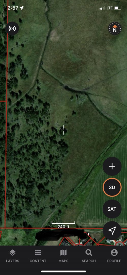
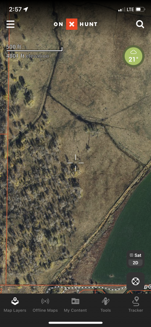
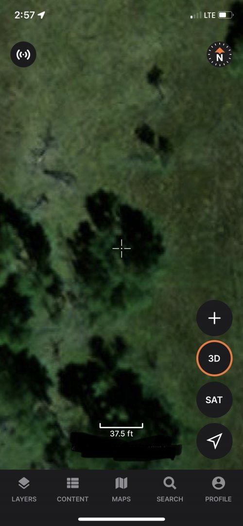
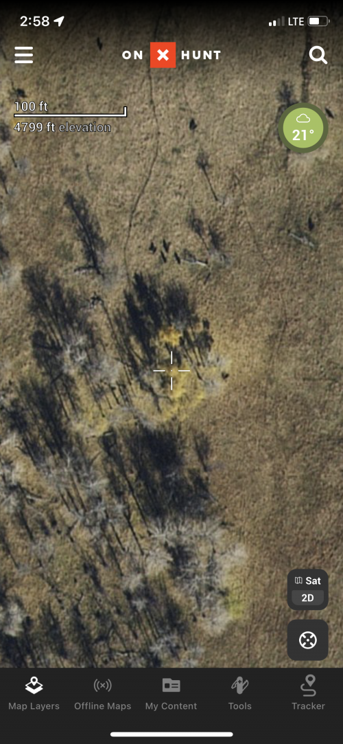
Fatrack, great question. I actually spoke to our maps team a few days ago about this. We are currently working with our provider who working on a new deal to secure new imagery. This has been a highly received piece of feedback and we are most definitely looking into this.@Dave@gohunt are there going to be any updates to the quality of the satellite imagery? This is one of the things I like more on OnX. Here’s a couple screenshots of the same locations from each program.
View attachment 208635View attachment 208636View attachment 208637View attachment 208638
Thank you for the question! We have received some feedback on optimizing the app for tablets as well. With some of our current projects, this is a lower priority at the moment, but a priority nonetheless. I will certainly be passing this along!I am currently using both OnX and Gohunt and I do like some of the features of Gohunt better than OnX, enough that I will probably use both in the field. I have two requests…one, can you make an app that is optimized for tablets? For research (e-scouting) I prefer a bigger screen and the iPhone app does not fit an iPad screen well and is clunky. Second, in trying to work around this limitation I am using the web map Gohunt site and I don’t see any way to select topo or hybrid maps whereas on a laptop or desktop computer I can select the type of map - is there a hidden menu or the functionality was skipped for mobile browsers?
Hi Dave, that worked for the Webmap, now I can do eScouting more conveniently on the iPad.Thank you for the question! We have received some feedback on optimizing the app for tablets as well. With some of our current projects, this is a lower priority at the moment, but a priority nonetheless. I will certainly be passing this along!
Yes, while using the web map app on a tablet you will notice that the lower extent of the screen can be tricky at times. We have found that NOT having additional tabs open while viewing the map is best and does allow you to utilize the base map toggles. Additionally, even with extra tabs open, you can use the scroll bar on the right-hand side of the screen to scroll the page down to access the tools as well. Please let me know if either of those works for you.
All good feedback here!
More excellent feedback! I will certainly be passing it along.Hi Dave, that worked for the Webmap, now I can do eScouting more conveniently on the iPad.
Another feature that would be nice is for the trails/roads layer - there are any number of trail types you show for dirt bikes to at atv, it would be helpful if we could either turn off specific trail types or even better be able to change the color coding to make it easier to distinguish between the different trail types.
Great question! Yes, you can easily export all of your data from other mapping platforms and easily import them into ours. Specific waypoint icons will not transfer but all of the associated data will.This might be a stupid question, but if one were thinking about switching over from ONx to Gohunt, is there any trick to saving waypoints, or is it just done manually with coordinates?
Hey there, apologies for the delay in getting back to you! We did have a small hiccup in the map services yesterday morning that caused an outage for the three base map types(Sat, Hybrid, and Topo) These were restored shortly after and should be up and running now without issue. Please let me know if you have any other issues or questions along with that, thank you!Dave,
Are there upgrades happening to gohunt maps? My hybrid doesn't work and my computer based gohunt maps isnt showing anything but a blank screen? Is the app down right now for updating or what is going on?
I ditched onX this year and will be using gohunt maps exclusively this summer to test it before I head out elk hunting. So far I am concerned with things not showing up.
Thanks.