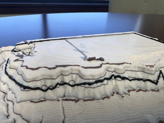
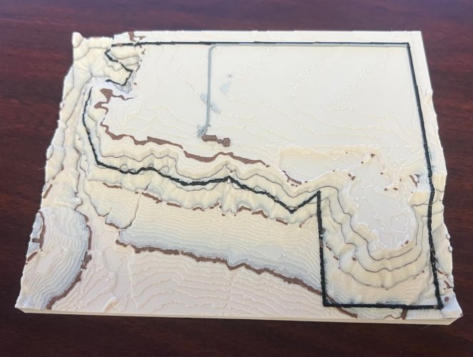
npaden
Well-known member
We upgraded our 3D printer to one that can print multiple colors and I’ve done some learning on stuff like LiDAR maps, QGIS, Blender, GPX extruder and converters and fun stuff like that and am pretty happy with the end result.
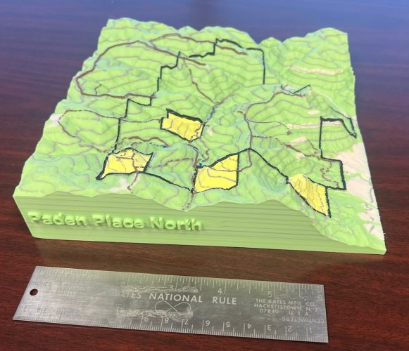
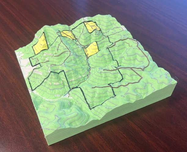
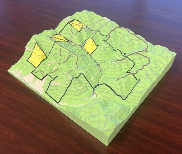
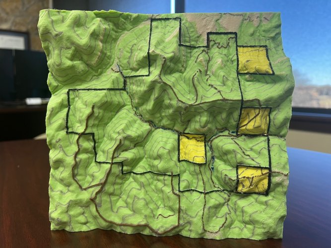
This is our property in Colorado.
Contour lines are at 100’ increments. I did double thickness on the contour lines at 6,500' and 7,000'. Had a little mess up that made the 6,900' line a little thicker too but it was going to be too much work to fix so I left it a little bit thicker too. Black is the property boundary, yellow is BLM, then light color is either clearing or cliffs, I tried to pretty much take a topo maps and render it in 3D. Brown is roads, the main roads are a little wider and the trails are smaller and some of those ended up with some gaps but I think that emphasizes that they are trails and not roads.
It took the printer 35 hours and 861 color changes to print it. It probably took me almost that many to figure everything out and get it ready to print.
Now that I know how to do it I’m hoping I can help my 17 year old son leverage that into a side gig making these for other people. I think another market for them might be for hikers or trail runners who want an overlay of their GPS path placed over a terrain map.
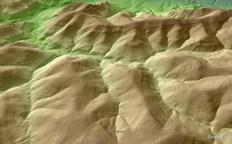
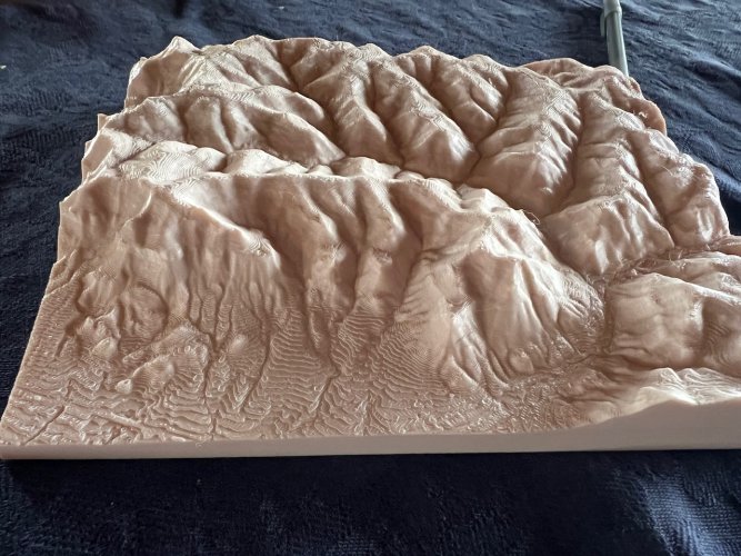
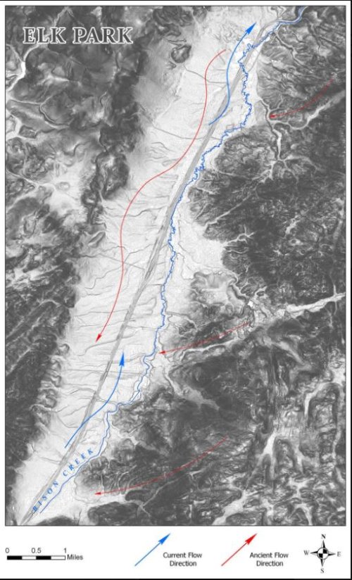
The LiDAR stuff is pretty amazing, I saw things on the LiDAR map that I hadn’t noticed on my own property even looking at it in person. The 3D printer isn’t quite precise enough to get everything to show up that you can see on a computer screen but it does a decent job. For sure better than just a Google Earth terrain map.
Oh well, thought I would share.
Nathan


