buckhunterhart
Member
Over the years I had been hearing about state trust lands and BLM lands that checker-boarded a large section of private land, but this spring I finally decided to reach out to a couple of Utah DWR CO's to see if I could get the low-down on how to access them via public right of way. One of the CO's, a good guy that I had met several times in the past and talked to via email and phone a few times got back with me and shared some valuable information, which is more than I could have ever hoped for.
This past Saturday after spending a week doing laundry from a two-week vacation, I decided it was about time to get out of the house and hit the hills. Unable to find one of my hunting companions available for the trip (they both have new babies, whereas my baby just graduated high school) I almost bagged it, but decided I had better go just for sanity sake. I was sure glad that I did.
Part of the area I had accessed before, but I was under the impression that most if not all of the surrounding area was private. After downloading the OnX map app free trial on my phone, I was pleasantly surprised to see that more than half of the area was either State Trust or BLM. Upon arriving to the area I found the road that accesses the area, went through one gate with a sign "please close gate" and proceeded to explore. Lots of high and dry sage brush hills, with two track criss-crossing in nearly every direction. The one thing that was absent was that the private land owners did not bother to post private land vs the public land. Once again good to have OnX handy on my cell. I started up the tracking feature on OnX and was able to see when I entered and left public parts of the checkerboard.
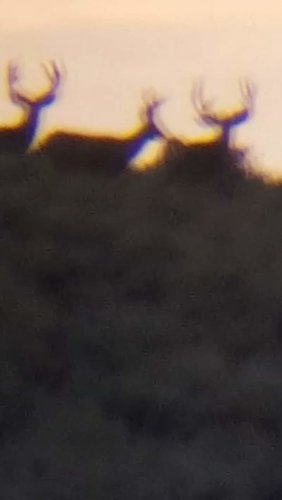
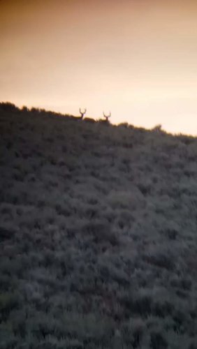
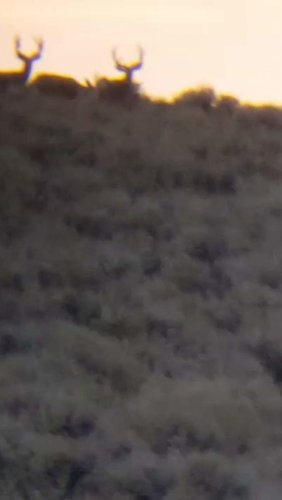
After wandering around for an hour and a half, finding one CWMU boundary and lodge, and exploring several draws without so much as a doe spotted I came to an area with a bunch of cattle grazing. Knowing they would need to have a water source nearby I drove up one little last draw right at dusk, and just when I turned around to head out my drivers side window got exposed to the west and bingo, a beautiful silhouette of a rack on the skyline. I threw the Black Diamond binos up and discovered 2 heavy 4x's with really tall racks, and one lesser 4 or 3x. Unable to get to much detail in the fading sun, but I did throw on the Phoneskope to the binos and get about a minute of shaky video, off which I grabbed the following stills. I got the spotting scope set up with the Phoneskope just as they decided to crest the hill over to the other side, so not good close ups. I saw enough to warrant a closer look in coming weeks.
Looking at OnX and Google maps after the fact, I found that there is in fact a spring in the immediate vicinity or where I saw these bucks, as well as a cattle pond. I think that must have been the kicker to keeping them in the area after this long, hot, dry summer.
I am excited to spend some more time up there exploring, as I did not even cover half of the area that I wanted to. Now to form up a game plan and decide if this will be my primary area of focus, as my original primary area is about half as far away, I am a lot more familiar with, but is a much smaller area and bound to have more hunters, but holds a lot more deer in my experience. Good dilemma to have.
This past Saturday after spending a week doing laundry from a two-week vacation, I decided it was about time to get out of the house and hit the hills. Unable to find one of my hunting companions available for the trip (they both have new babies, whereas my baby just graduated high school) I almost bagged it, but decided I had better go just for sanity sake. I was sure glad that I did.
Part of the area I had accessed before, but I was under the impression that most if not all of the surrounding area was private. After downloading the OnX map app free trial on my phone, I was pleasantly surprised to see that more than half of the area was either State Trust or BLM. Upon arriving to the area I found the road that accesses the area, went through one gate with a sign "please close gate" and proceeded to explore. Lots of high and dry sage brush hills, with two track criss-crossing in nearly every direction. The one thing that was absent was that the private land owners did not bother to post private land vs the public land. Once again good to have OnX handy on my cell. I started up the tracking feature on OnX and was able to see when I entered and left public parts of the checkerboard.
After wandering around for an hour and a half, finding one CWMU boundary and lodge, and exploring several draws without so much as a doe spotted I came to an area with a bunch of cattle grazing. Knowing they would need to have a water source nearby I drove up one little last draw right at dusk, and just when I turned around to head out my drivers side window got exposed to the west and bingo, a beautiful silhouette of a rack on the skyline. I threw the Black Diamond binos up and discovered 2 heavy 4x's with really tall racks, and one lesser 4 or 3x. Unable to get to much detail in the fading sun, but I did throw on the Phoneskope to the binos and get about a minute of shaky video, off which I grabbed the following stills. I got the spotting scope set up with the Phoneskope just as they decided to crest the hill over to the other side, so not good close ups. I saw enough to warrant a closer look in coming weeks.
Looking at OnX and Google maps after the fact, I found that there is in fact a spring in the immediate vicinity or where I saw these bucks, as well as a cattle pond. I think that must have been the kicker to keeping them in the area after this long, hot, dry summer.


I am excited to spend some more time up there exploring, as I did not even cover half of the area that I wanted to. Now to form up a game plan and decide if this will be my primary area of focus, as my original primary area is about half as far away, I am a lot more familiar with, but is a much smaller area and bound to have more hunters, but holds a lot more deer in my experience. Good dilemma to have.


