Yellowstoner
Member
- Joined
- Aug 14, 2015
- Messages
- 166
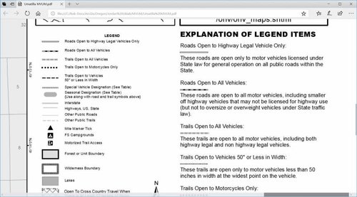
Is there an easy way to tell which roads are open or closed in OnX or elsewhere? When e-scouting new areas I can’t figure out how to tell whether the road is private or allows public access. Also, I’m wondering if there’s a good guide for motorized access? Specifically what roads are open to trucks vs. side by sides vs dirt bikes. The roadless layer is useful to a point, but it’s hard to figure out what points are accessible.
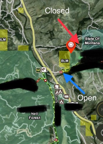
I’ve attached a screenshot of an area where I know the northern road is closed, while the southern is open as an example.
Thanks!

I’ve attached a screenshot of an area where I know the northern road is closed, while the southern is open as an example.
Thanks!


