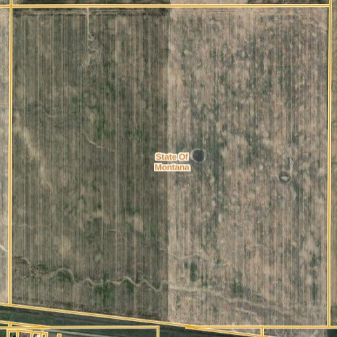
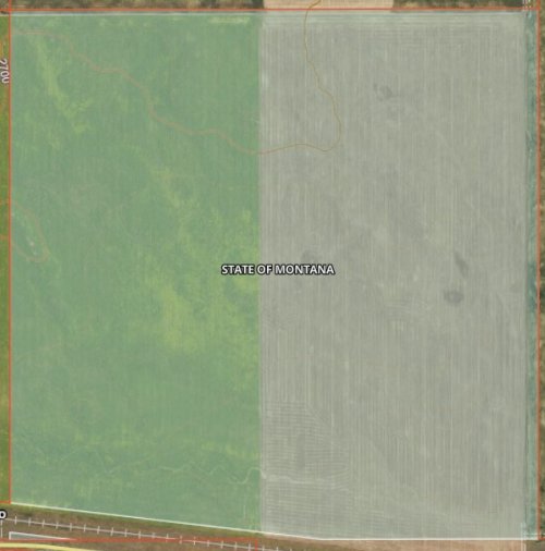
Those changes that are made are not made lightly. The surveyor is on the line as well as his professional career. When those changes are made, likely the surveyor has walked back the entire original description. These old descriptions aren’t as clear cut as more modern ones as it was likely at some point landmarks were used but the intent is what they are wanting. Did the original surveyor intend those corners to be where the retracing surveyor has his corners identified.View attachment 208531
... land work in West Virginia, always interesting.
100% agree, although a boundary survey can also led to major title issues so is one reason why it's often not done. I've been a part of a couple transactions where a re-survey would have lead to a title company not insuring title, essentially the resurvey would cloud title.
What's kinda interesting in O/G is you have to pay apportiontly based on acreage in a drilling unit. Meaning exact acreage is important, and often your in communities where farms have been owned by the same families for generations, and those families have 0 intention of ever selling. So it's kinda unlike normal real estate work where a developer is buying a property to subdivide or someone is trying to sell their property and "clean it up"... and it's not one property. You are trying to get 500 hundred small farms to all have perfect boundary lines with no vertices overlap so you can say:
In this 2000 acre unit:
Jim Owens = 22.3 acres
Brad Jones = 25.3 acres
Jill Bradford= 29.0 acres
and the sum of all the acreage needs to add up to exactly 2000 acres.
I think most surveyors do a really good job, but rarely does a surveyor company get tasked with cutting up 30,000 acres of 25 acre-ish tracts in order to pay out 100MM, and you aren't creating a new subdivisions where it starts out perfect, you are reconciling deeds that are all over 100+ years old, so if you make any change someone is getting hosed.
And as you might imagine no one is ever upset that the family "100 acre farm that has been in my family for 5 generations" is now 84.7 acres.
As far as comment referring to parcels, it will be real unlikely to get let’s say a section to add up to 640 acres. Yes that’s what they should be but if your bearings are shown in more than degrees and minutes it’s likely you won’t see 640. This yes can be resolved by only showing less detail.


