Khunter
Well-known member
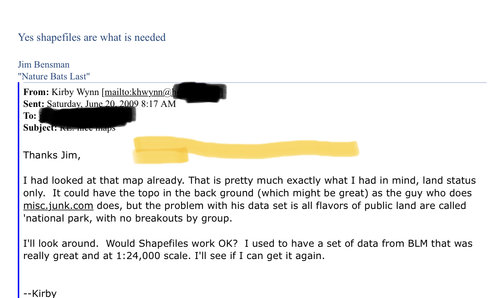
Memory lane...and a look back at a fortune missed. Back in June 2009 I asked a mapping guy who had mapped some sort of gps overlay map of something in Indiana and posted it on gpsfiledepot website if he could make one that overlays all the ownership info found on BLM maps and code the colors to match blm color scheme. He said, sure, if you get me the digital files.
I downloaded and sent him the web links to the raw ownership GIS data for CO/WY/NM/UT/NM/AZ and he whipped out maps for loading onto a gps and overlaying on top of topo maps sored in gps or on the old topo map chip. Used those maps in NM and Colo that year to great effect skirting pvt lands chasing elk. Beta tested and asked for useability and visibility refinements that he did.
I knew we had a million dollar idea and did not leap on it. Career opportunity passed by, darn it. Now I pay others for maps. That map Jim Bensman made at my request still exists https://www.gpsfiledepot.com/maps/view/247/
and still works as a free download on gpsfiledeport.com. I do not use them now since not even a fraction as nice as the current commercial products, but to my knowledge these were the “first” (and worst, LOL but they worked! and were accurate). Even got to tell a conniving rancher back in 2009 to pound sand when he claimed the forest was his and I had to leave. Priceless at the time in a unit where landowner abuses abounded based on lack of good ownership mapping data in hunters hands in the field. I remember hooking up buddy’s like Dinkshooter and brother ABQBW with these early maps and scheming all the pvt land skirting we could more easily do while leaving most hunters behind.


Last edited:


