PEAX Equipment

Go North, young man (or not so young man)

theat

Well-known member
Joined
Aug 28, 2010
Messages
929
Location
NW Montana
I just got home a few days ago from a 6 week trip up to Alaska. After first experiencing the state while working there during the summer of 2015 (https://www.hunttalk.com/threads/alaska-pictures.265113/), I decided that I would take every opportunity presented to return. The same group of friends that I traveled with last year for our pack rafting and fishing trip from this post, (https://www.hunttalk.com/threads/salmon-bears-super-cub-packrafts-glaciers-and-whitewater.308799/) decided to head back up this year with some ambitious goals.

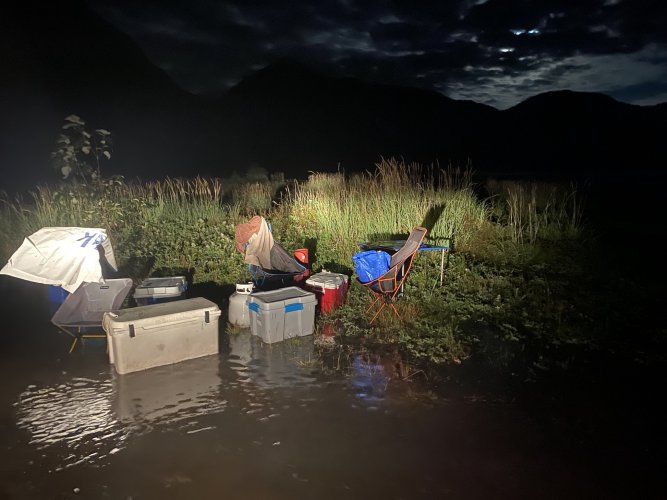
On our way north we made a stop for a couple days in a part of Alaska that is about as far south and east as you can get in that massive state. I had been to this area a few times before for both work and fun. For our first night camping in AK, I decided upon a nice spot about 3/4 of a mile up a small river from the ocean. I had camped and fished at this spot many times in the past and made the foolish inlander assumption that this time would be no different. Now, even though we could see the ocean in the distance, we were set up on a gravel bench about 8-9 feet above the river level and about 18' above ocean level. Everything was great and after dinner and laying out watching the Perseid Meteor Shower, we crawled into the back of our trucks. I warned everyone that we were in an area with lots of both black and grizzly bears and to be listening for anything messing with our coolers etc. A couple hours later, I was woken by the sound of a cooler tipping over and banging into a table. I open the small sliding window on my topper and yelled at the presumed bear to get the hell out of there. In the moonlight I could see one of my coolers tipped over and moving around a bit right next to the truck. It took me longer than it should have to realize we didn't have bear problem, we had a high tide problem! Everyone quickly jumped out of bed and began scrambling to get our gear and trucks up on high ground. After stomping around barefoot for a bit, I found my chacos floating away with some empty gas cans. Due to a low spot on the access road we couldn't really flee the area and thankfully found a bit of high ground that became an island for a few hours. We checked the tide chart the next day and discovered that we picked the highest tide day of the year to camp a bit too close to the ocean. It was an almost 20' tide. Amazing for a mountain dweller like myself to see how fast it comes up and quickly drops back down. If you read my post from last years trip, you might notice a trend when it comes to high tides and us.

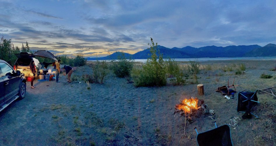
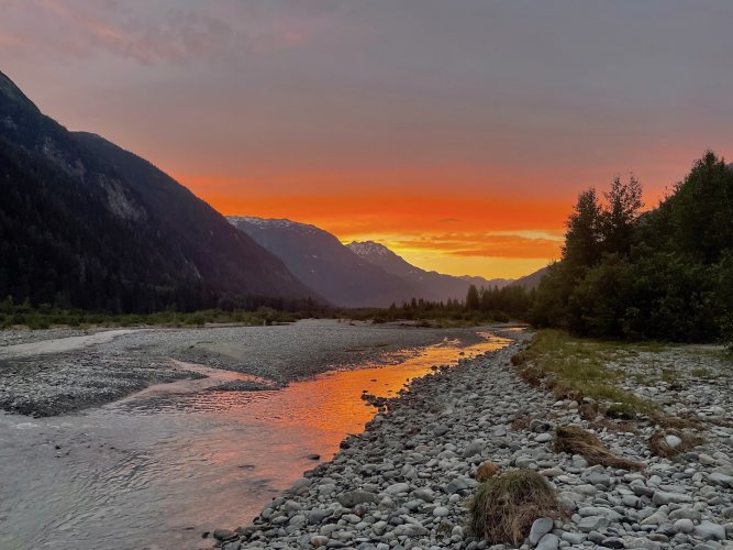
Sunset at our first AK campsite
IMG_9509.jpg

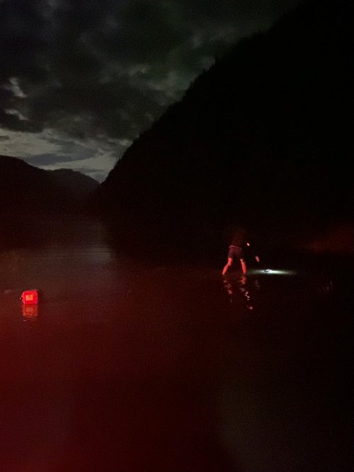
Retrieving my missing chaco and the last gas can.
MDEBE9741.jpg

Our first "high ground" spot quickly becoming submerged
IMG_4163.jpg
 
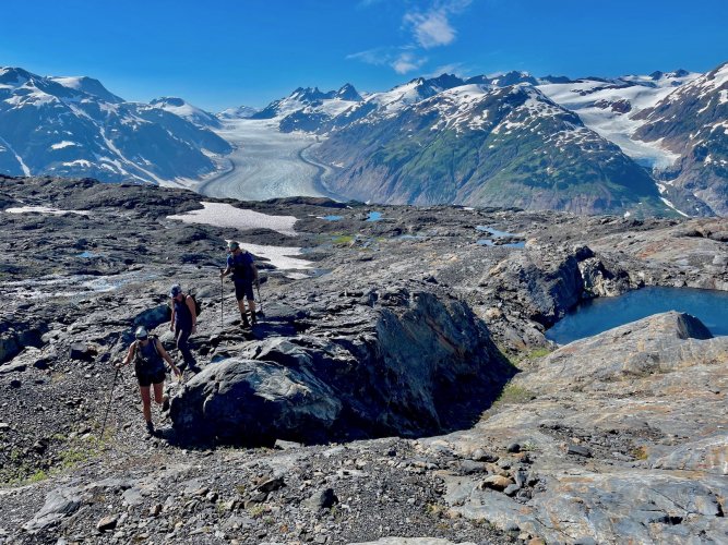
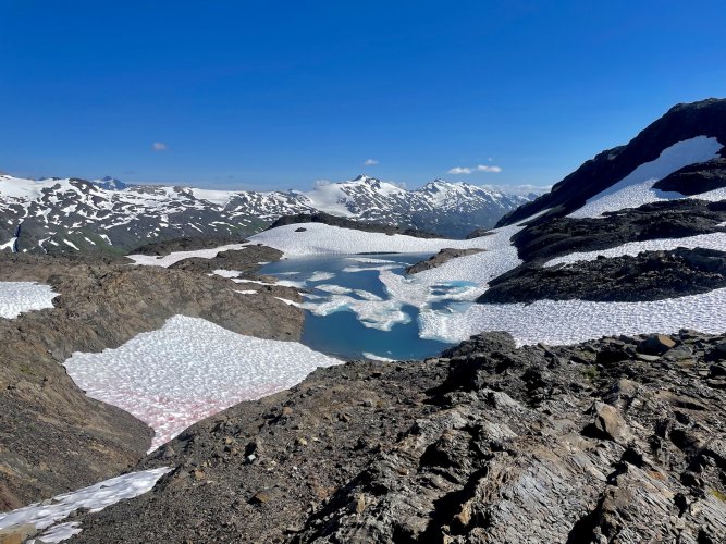
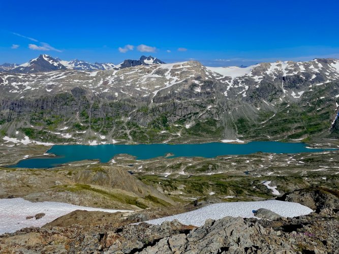
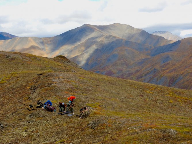
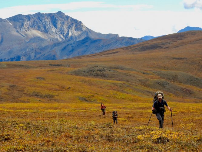
After drying out some gear that ended up a bit waterlogged from the previous nights misadventure, we headed up to the top of a terrible road to do some high alpine hiking.
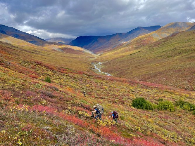
View from the drive up
DSCN9005.jpg

The view from where we parked the trucks
IMG_9433.jpg


IMG_9443.jpg


IMG_9455.jpg

IMG_9464.jpg


IMG_9485.jpg

IMG_9492.jpg

After an abnormally nice day up in the high country we decided to risk camping down near where we spent the previous night. Thankfully we found a spot a few feet higher up and had an uneventful night.
 
I am also an inlander that has been surprised by the tide before. While traveling in New Zealand we were hiking around Abel Tasman National Park there. It is on the very north end of the south island. It is a very beautiful area with beaches and we walked down a river to get to the ocean there. There was a huge area that was dry ground and obviously from the the tide. We crossed the river and eddy area on feet, river was ankle deep and really more of a creek. By the time we got back and had to cross back over we had to swim over a 1/4 mile to get to the other side. This was only a couple hours later. I was amazed at how fast it changed.
 
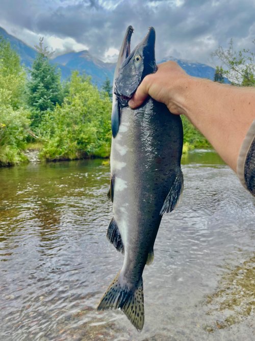
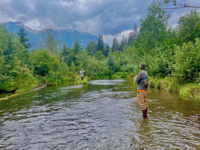
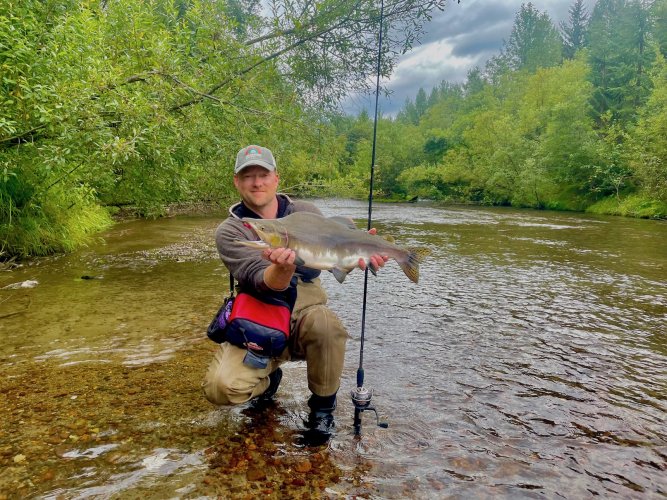
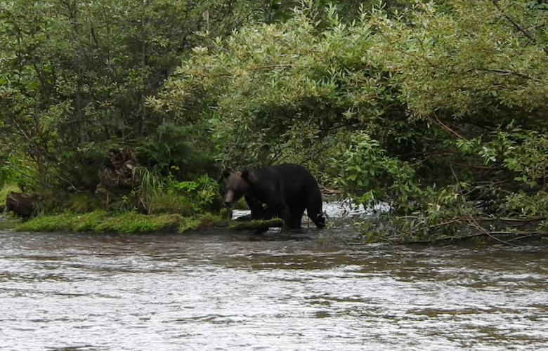
For day 2, we decided to fish and look for bears doing the same then get a late start on the rest of the way north. This river is known for a great pink and chum salmon run and lots of bears taking advantage of it. We made our way down some bear trails though thick brush to a fishing hole that a local showed me many years ago. This year the chum run was poor and the very aggressive pinks made it hard to catch any. I was only able to catch pinks but my buddy caught a couple large chums. Despite tons of bear sign, we only saw a single young grizzly on the river. He came running up the river and around the corner at 50 yards before we could see each other. Our bear spray was out and ready, but he decided to skirt around us on the opposite bank.

IMG_9513.jpg

My friends both with a fish on while I am also fighting a fish and trying to take pictures.
IMG_9518.jpg


IMG_9536.jpg

Screen Shot 2022-09-20 at 12.36.29 PM.png


The rest of these are from some of the places we stopped or camped along our way through northern BC and the Yukon.

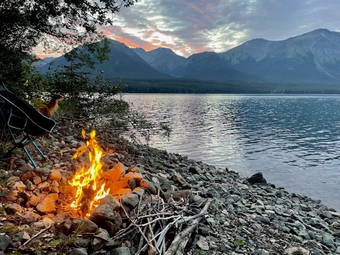
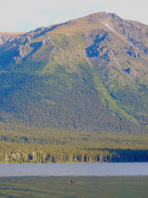
Got an early morning wake up call at this camp when a helicopter landed next to us. Turned out it was BC Fish and Wildlife Officers going to retrieve some poached rams in the mountains across the lake from us.
IMG_9568.jpg

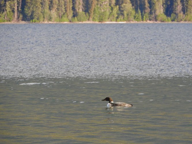
After the chopper left we spent the morning watching a listening to some loons in the lake.
DSCN9012.jpg

DSCN9015.jpg


IMG_9582.jpg

Kluane Lake primitive campsite
IMG_9586.jpg

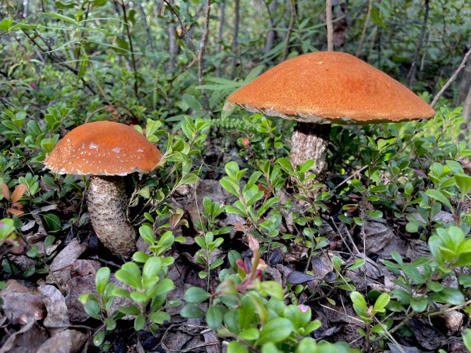
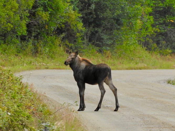
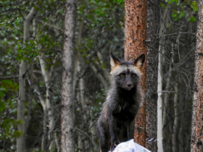
Some of the critters we saw along the way
DSCN9028.jpg

DSCN9024.jpg
 
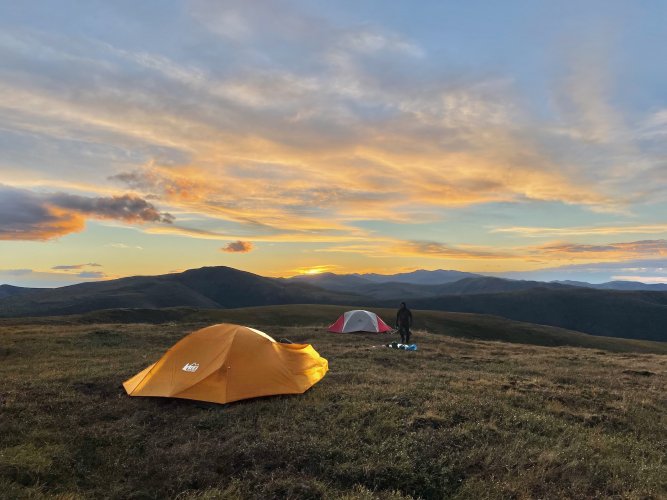
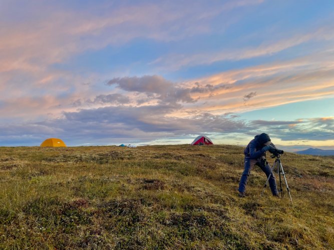
Once we made it back across the border into the main part of Alaska we decided to spend a few days doing a backpack caribou and ptarmigan hunt. We hiked in about 6 miles our first afternoon and found a spot with good visibility, a bit of wind protection and nearby water. Just as we got our tents setup, I hiked a bit around the mountains and immediately noticed a very unfriendly looking series of clouds headed our way fast. I ran back to camp and in just the knick of time got our packs and ourselves in the tents. What came next was the worst wind, lightning and hail storm I have experienced while in a tent. I had to hold up the poles on the windward side to keep the tent from collapsing. The vent on my side of the rain fly wouldn't stay velcroed shut and a bunch of hail along with chunks of tundra that the wind was ripping off the ground came pouring through. My tent mate was kind enough to hold her rain jacket over me while I was busy bracing the tent. Thankfully the storm only lasted a 1/2 hour, but I ended up with some cuts and bruises on my fingers and hands from the hail and I am still perplexed as to how it wasn't punching right through the rain fly.

Right before the storm hit. It was pretty windy already as you can see from the tent fly.
IMG_9599.jpg

Glassing for caribou the next morning
IMG_9603.jpg

We ended up hiking in another 6-7 miles but despite tons of both old and new sign, no caribou were spotted.
IMG_9617.jpg


IMG_9608.jpg

IMG_9618.jpg
 
Our next stop was Fairbanks to pick up a couple more people at the airport and begin our trip up to the Brooks Range for a 12 day, 160 mile trip through Gates of the Arctic NP and a packraft float out onto the north slope.

Lots more to come, but Im taking a break to go see if anything is using the mineral lick spring under my tree stand.
 
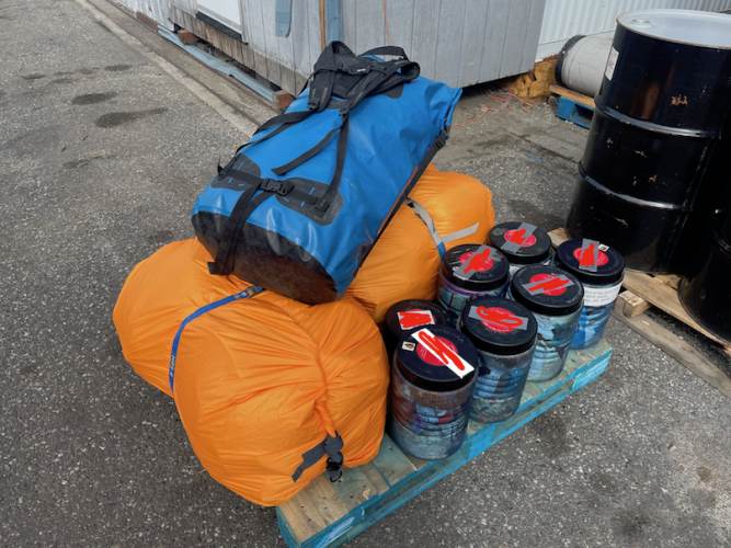
While planning our Brooks Range trip we decided that if we could find a reasonable rate on a gear drop, we would have an air transporter fly some of our gear out to where we would start the floating portion of our trip. I found a service that could do it for us when we need it and for a decent price. Only problem is that they are based off the road system so we would have to have another airline haul our gear from Fairbanks to them first. Before we left Fairbanks, we loaded up and brought a bunch of food, packrafts and other gear to the back of the airport and got it checked in as freight. The convoluted process of getting our gear to us in the backcountry had me pretty nervous and I wasn't sure that I would ever see any of this stuff again.
IMG_9633.png

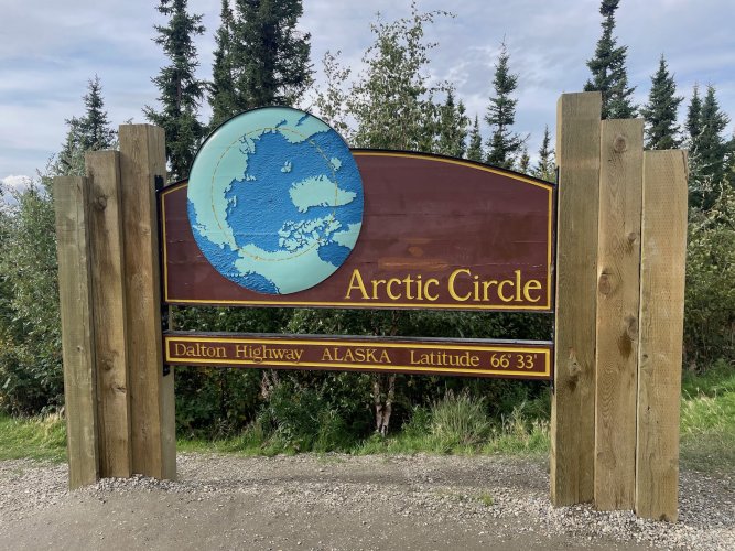
The drive up the Dalton Hwy across the Yukon river and over the Brooks Range was long but the road was not as bad as I was expecting. Significant parts are paved and rest was wide and well maintained gravel. We didn't make many stops along the way other than at the Arctic Circle and Coldfoot. The Gates of the Arctic Visitor Center was worth the stop, but the buffet at the truck stop was not.
IMG_9637.jpg

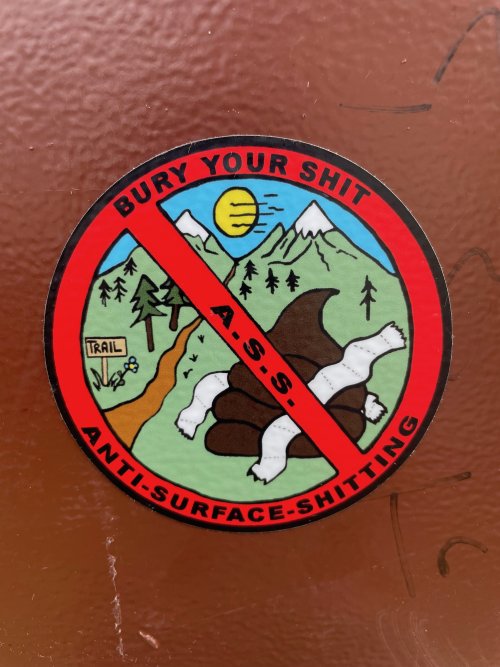
The rear of the Arctic Circle sign had a bunch of stickers on it and this was my favorite. Good cause to support here in Montana as it seems a lot of hunters prefer to squat right in the middle of roads and trails.
IMG_9638.jpg

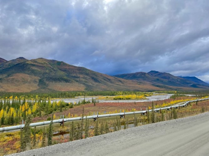
I had seen further south sections of the pipeline, but it was definitely a sight to see against the fall colors and arctic terrain.
IMG_9641.jpg

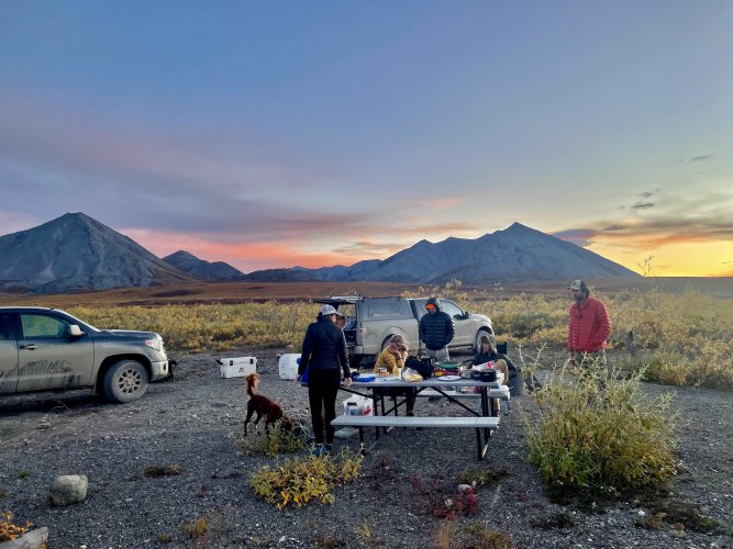
Found a good spot for our last night of car camping for awhile
IMG_9645.jpg
 
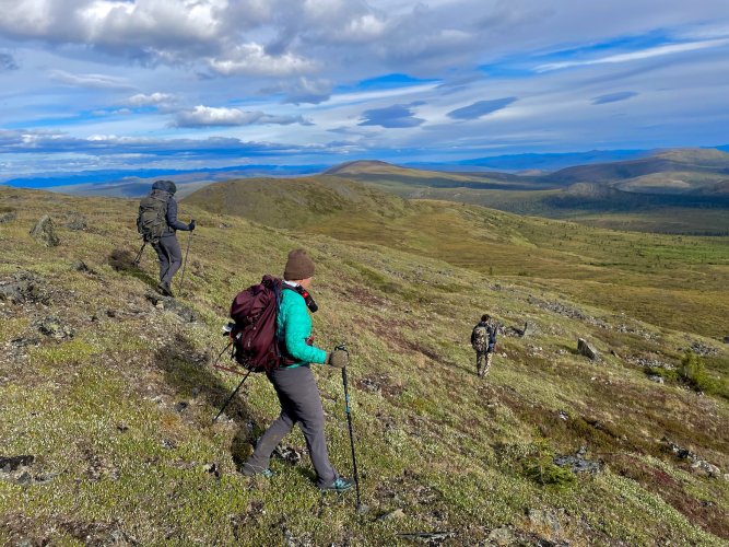
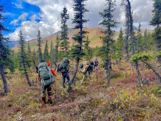
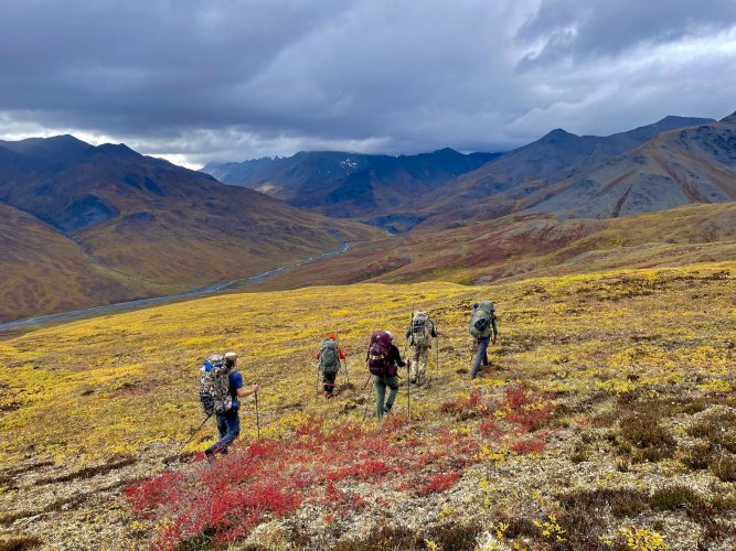
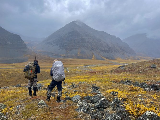
We woke up early and loaded all six of us and the dog in one truck to head back south over the pass to begin our first day of hiking. We had a big day planned with numerous river crossings, two passes to climb and about 12 off trail miles to cover.

After the river ford we hiked about 1/2 a mile through the last spruce trees we would see for almost two weeks
IMG_9653.jpg

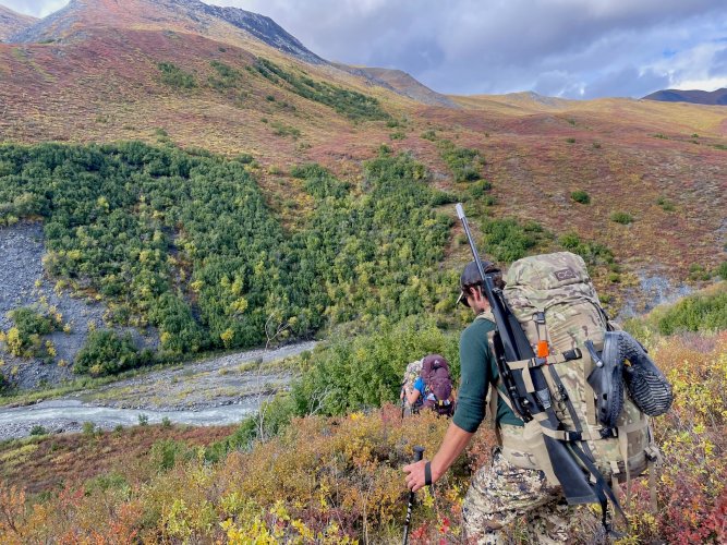
Heading down to our second river crossing. The first pass we had to ascend is the ridge above and a bit to the right of my friend
IMG_9657.jpg

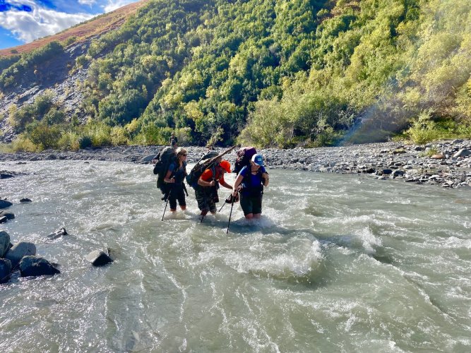
Some tried one of the fording methods suggested in the Gates of the Arctic backcountry orientation video
IMG_9668.jpg

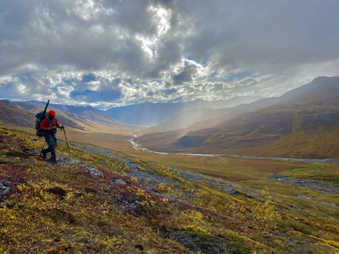
It worked and we began the first big ascent of the trip
IMG_9678.jpg


IMG_9684.jpg

Made it to the top and took a lunch break while enjoying the great weather and views
DSCN9040.jpg


DSCN9050.jpg

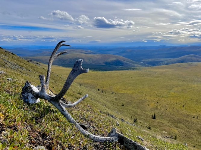
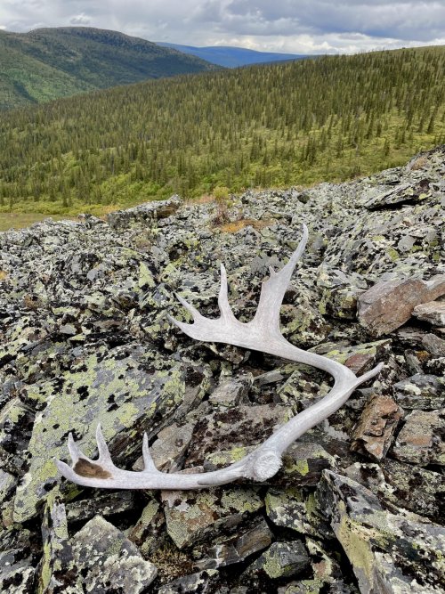
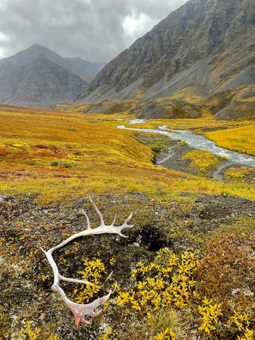
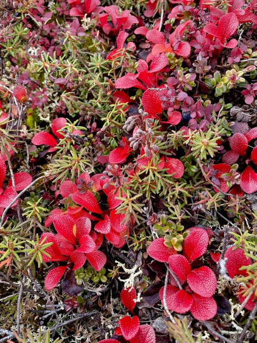
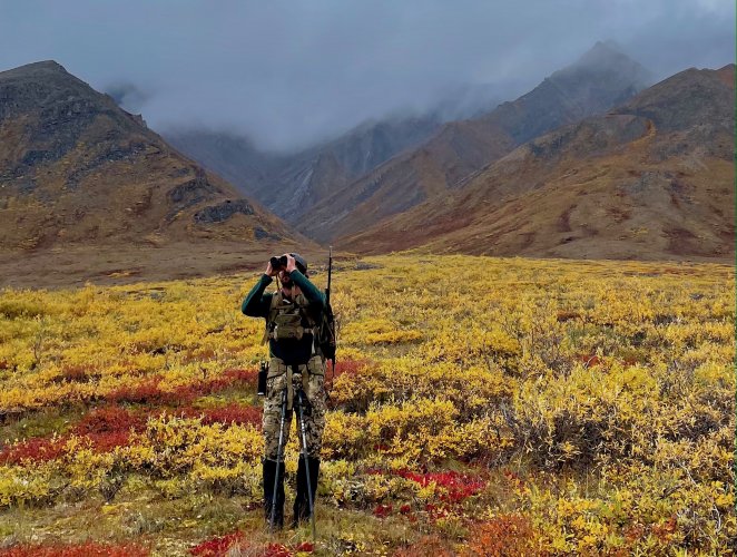
The amount of caribou sheds that we found was incredible. Im confident that I saw well over 100 over the next 12 days. As a dedicated shed hunter it was hard to just walk on past a few of them.
IMG_9701.jpg

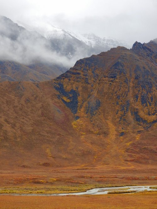
The second pass and our destination for the night is just below the more jagged looking mountains left of center about as far as you can see up this drainage.
IMG_9708.jpg


IMG_9718.jpg

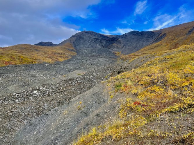
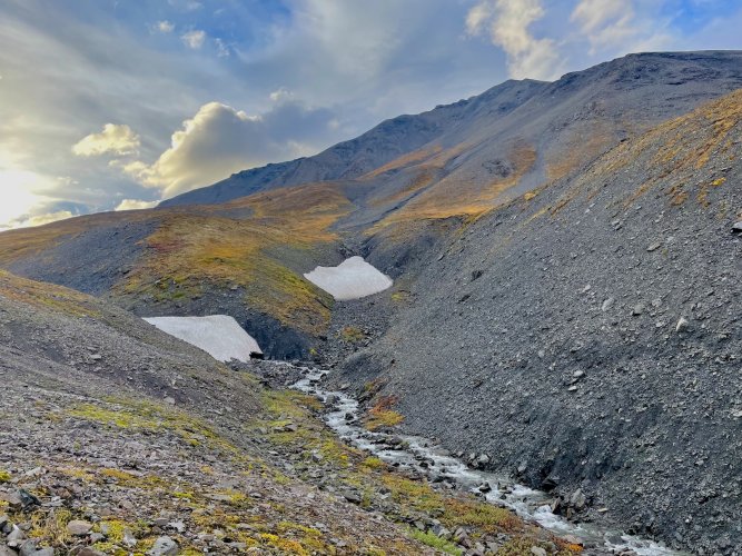
One of the many somewhat recent landslides that we crossed on the trip
IMG_9721.jpg

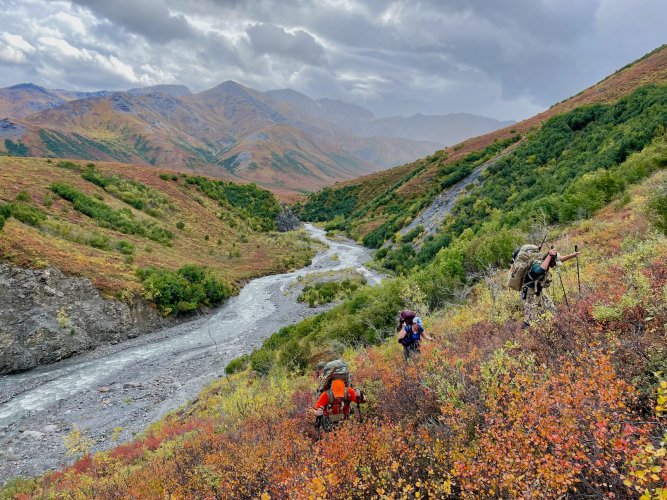
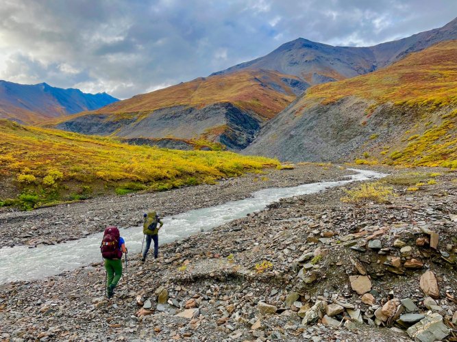
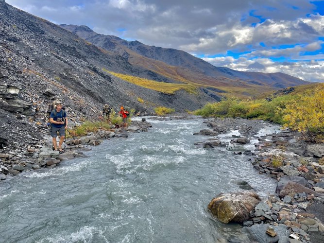
To avoid having to sidehill through a bunch of side drainages we ended up walking the gravel bars along this creek as much as possible. It was a nice break from the soft and unstable tundra.
IMG_9737.jpg

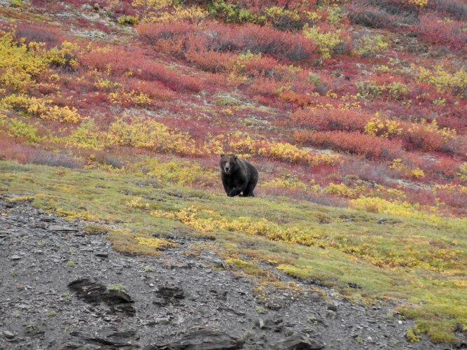
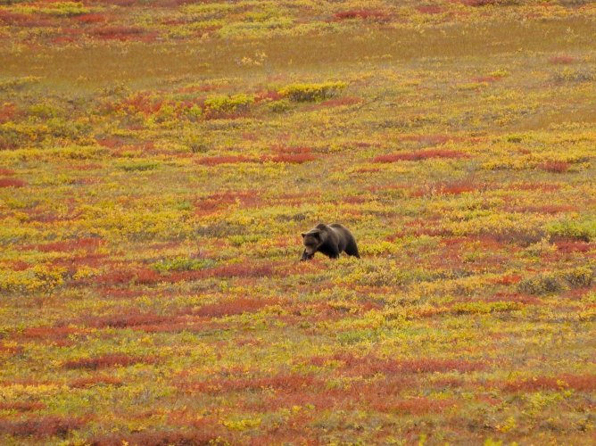
The first of many grizzlies spotted. This bear was about 300 yards across the creek from us and quickly heading up to the same pass where we were planning to spend the night. After about 30 minutes of paralleling us, he got a wiff of us and thankfully turned tail and took off running. It was comforting to see this reaction from such a large bear and we watched him run/waddle a couple thousand feet up the mountain away from us.
DSCN9071.jpg


DSCN9077.jpg

DSCN9082.jpg

I can't remember how many times we had to cross rivers that day, but I think there were at least 4 times that we rolled up pants and took the boots off
IMG_9743.jpg

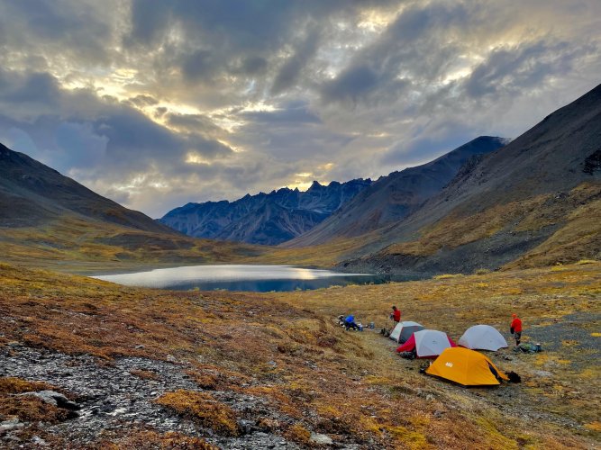
Getting close
IMG_9755.jpg

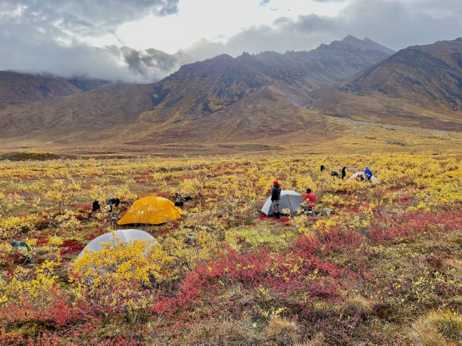
Seeing the lake at the pass was a sight for sore eyes (and feet, hips, shoulders and knees). Everyone was pretty tired so after packing down some freeze dried meals it was an early night in the tents. I guess early is subjective since it didn't get dark until sometime between 10 and 11, but no one stayed up that night to see the northern lights.
IMG_9766.jpg
 
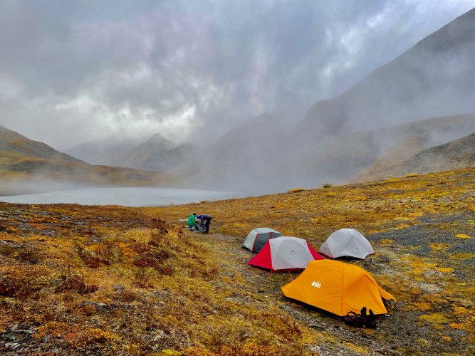
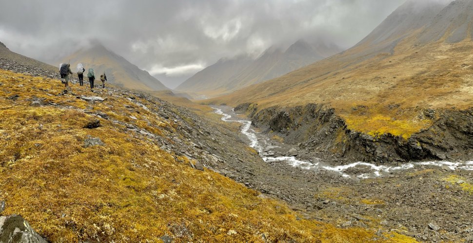
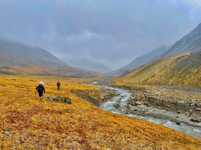
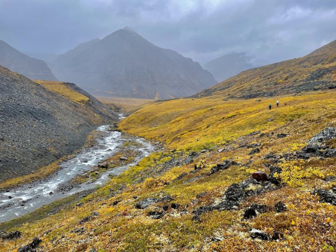
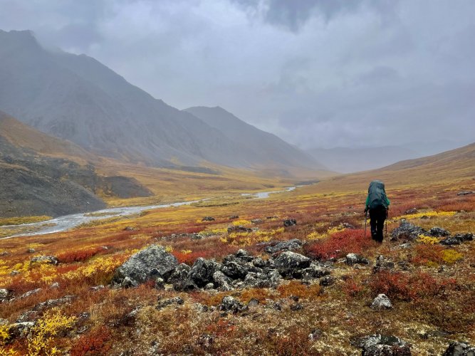
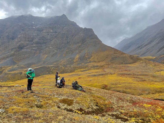
Day 2 started off in the clouds. The Brooks Range is not known for its nice weather, but it sucked us in the previous day with some fantastic weather. We had about 17-18 miles to hike this day to get to where the float plane was planning to meet us the next day. It drizzled on us pretty much the whole day, but thankfully the visibility was pretty good.

IMG_9769.jpg


IMG_9794.jpg


IMG_9799.jpg


IMG_9805.jpg

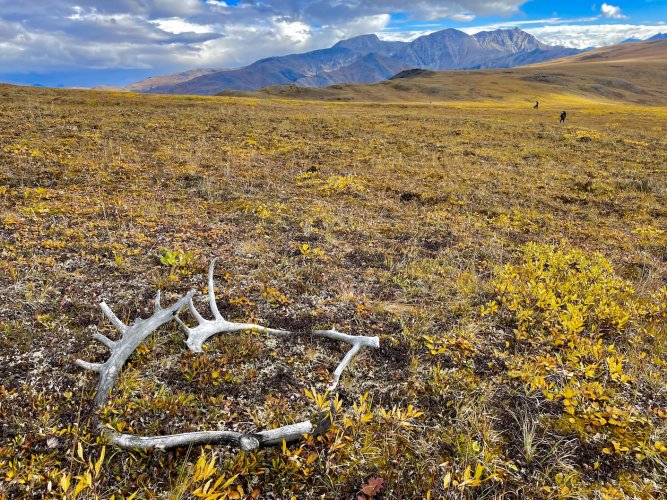
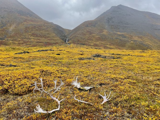
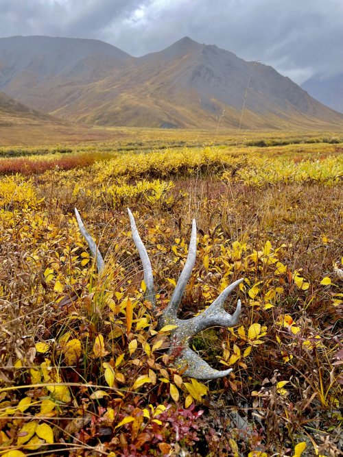
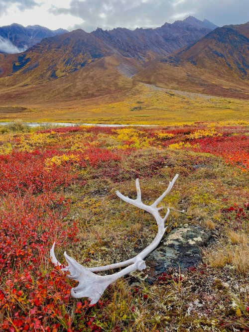
Some previous travelers had set these antlers here with a great backdrop
IMG_9824.jpg

IMG_9810.jpg

IMG_9834.jpg

IMG_9842.jpg

IMG_9849.jpg

Taking a break at the halfway point
IMG_9850.jpg

IMG_9860.jpg

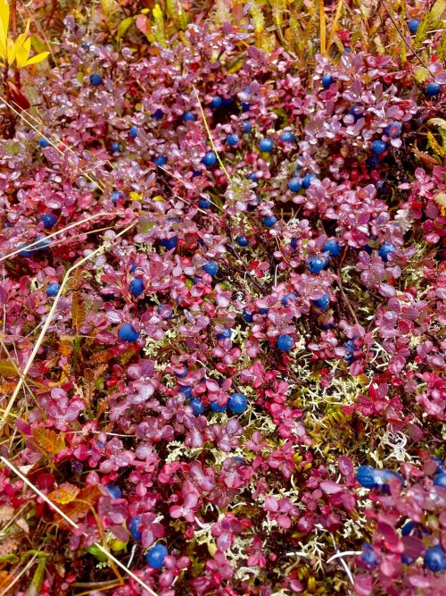
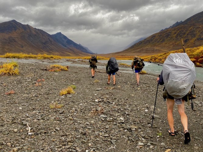
Only had one major river crossing this day, but it was a doozy. We managed to find a spot where the river was heavily braided, but a couple of the channels were still high, swift and cold. After 17 miles slogging through cold rain and increasingly worse muskeg tundra, stripping down and getting waist deep in an arctic river was not my idea of fun. Thankfully we only had a mile to go to our next camp and one of the group had kindly brought along some whisky with some recently added crushed blue berries to warm us up.
IMG_4266.jpg

IMG_9888.jpg


More to come, but I think I am going to see if the kokanee run has started on the river north of me.
 
This is amazing! 12 and 17 off-trail miles in any terrain is pretty significant, but in Alaska tundra and river bottoms it is especially aggressive. I am impressed. I spent a summer studying backcountry lakes, and 17 trail miles was our longest single-day trek, and that was stiff. Hats off to you and your crew.

Loving this thread. Thanks for the incredible photos and for taking us along with you.
 
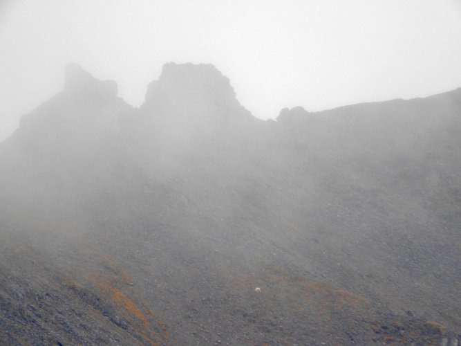
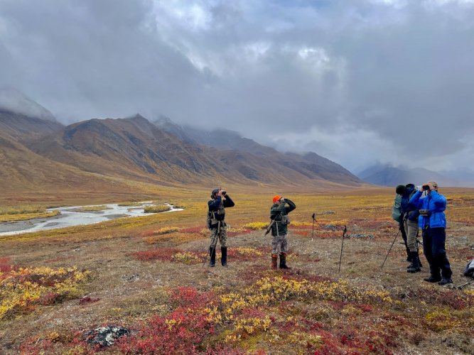
Day 3 was supposed to be the day our packrafts and other gear arrived, but the weather was still a bit iffy. The air transporter wanted a local weather report every couple hours to see if they could sneak a plane in over the pass. We thought that this made for a good excuse to stick around camp for the morning rather than how incredibly exhausted we all were from the previous two days. I used the time to work on drying some wet clothes, scouting out a good spot to put on the river and glassing sheep high on the mountains above us when the clouds would temporarily part.

IMG_9886.jpg

DSCN9137.jpg

DSCN9144.jpg

Im struggling to pick and choose which pics to share of the many dozens I have of caribou sheds
IMG_9880.jpg


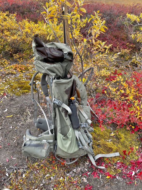
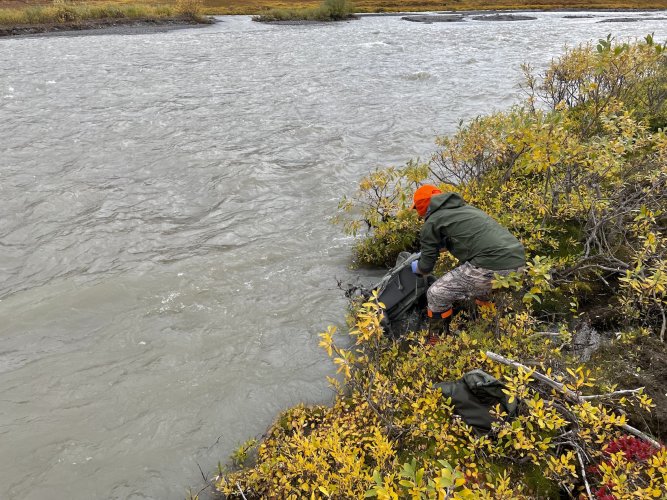
By mid afternoon we got word that we wouldn't get our gear drop that day so we decided to explore the valley a bit. While tossing on our packs, my buddy had an accidental bear spray discharge. For how much spray was on his pack, I thought it was going to have to be wrapped in garbage bags for the rest of the trip. Not sure if its due to a different bear spray manufacturer or a dud can, but it was WAY WAY less potent than the very small exposures I have had to it in the past. No one ever coughed or got teary eyed and after a quick dunk in the river you could shove your nose into the stain on the pack and barely even smell it. He got very lucky it wasn't worse and thankfully another guy had carried in a spare can.

IMG_9891.jpg

IMG_9894.jpg

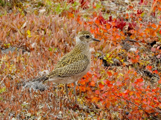
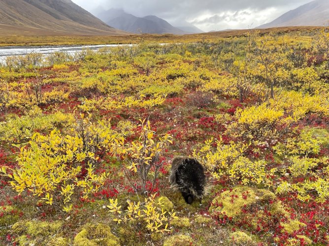
After that incident we went for a quick hike. Didn't spot any caribou but did see a few groups of sheep and a few other types of arctic wildlife.
IMG_9901.jpg


DSCN9151.jpg


IMG_9907.jpg


IMG_9897.jpg

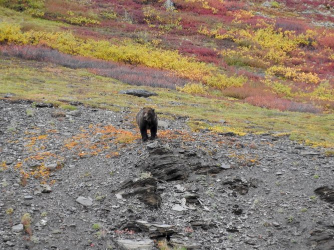
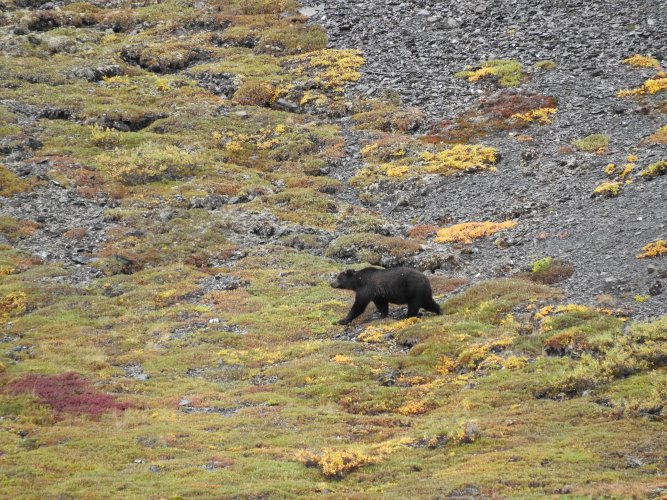
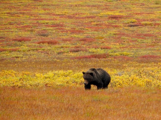
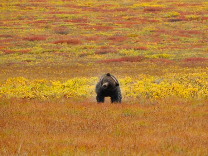
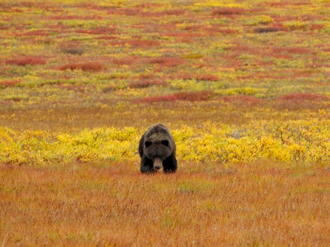
Our most interesting encounter of the day happened right at camp. I spotted a grizzly about 1.5 miles down the valley while we were sitting around camp. We kept watch on him and after about an hour he had made it to within about half a mile of us. All of a sudden he started running right at our camp so we all grabbed our spray and a couple rifles and walked up onto the small rise above our tents. By the time we got up there, the bear was down in some brush near the outlet creek of the lake about 100 yards away. He popped out of the bushes on our side, shook off and started walking towards us. Just after the last picture in this series he started to run at us so we all yelled at him. At about 70 yards he started to veer towards our downwind side, which was also where our tents were located. He ended up running past our tents with a few stops to stand up on his hind legs and check us out. Once he caught our scent, he quickly ran to the river, swam across and ran about 1000 feet up the mountain. I have a pretty good video of that whole situation.

DSCN9122.jpg

DSCN9129.jpg

DSCN9130.jpg

DSCN9131.jpg
 
Last edited:
Caribou Gear

Forum statistics

Threads
113,675
Messages
2,029,334
Members
36,279
Latest member
TURKEY NUT
Back
Top