Nameless Range
Well-known member
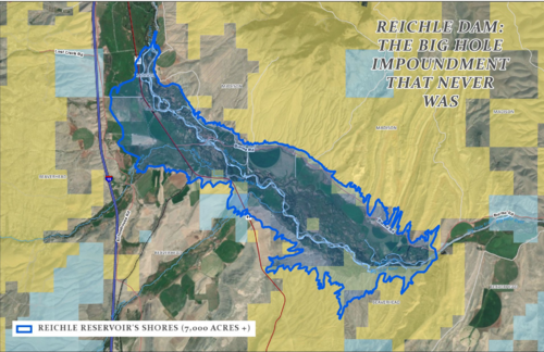
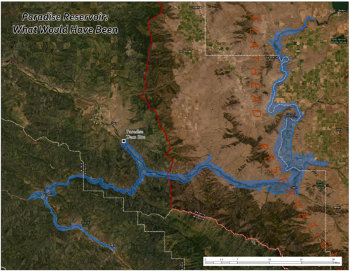
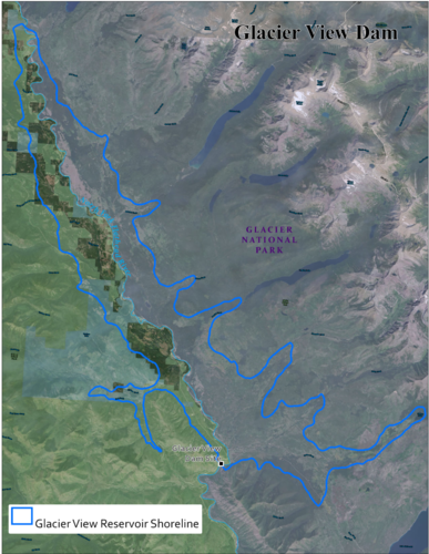
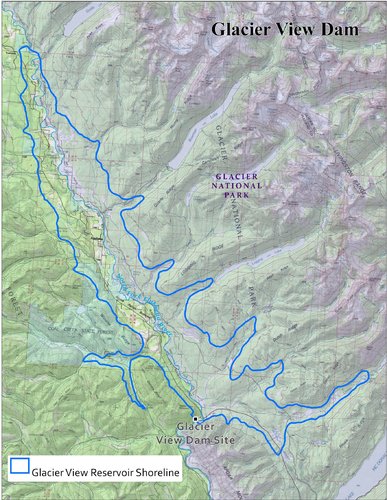
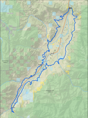
HuntTalkers who are friends with me on The Facebook have already seen these, but a kick I have been on since Big Fin made the film The Dam That Never Was is mapping out the footprints of lakes that would have existed had proposed dams been built that never were.
Though some dams had better chances than others, in almost every case conservationists stood up for the land and the rivers and voiced opposition. Using data about the proposed dams heights and other information, we can use the contours of the land to infer the inundation areas.
I've got a pile more to do, and will post them here as I go. I think they make for interesting stories of conservation.

Last edited:


