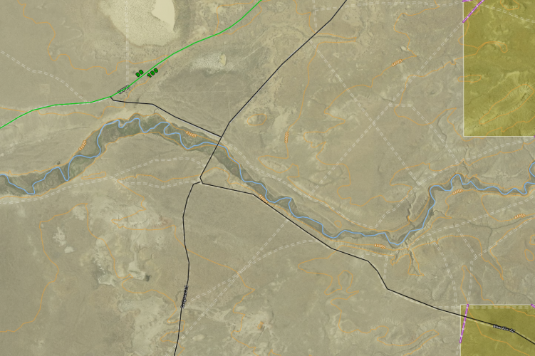
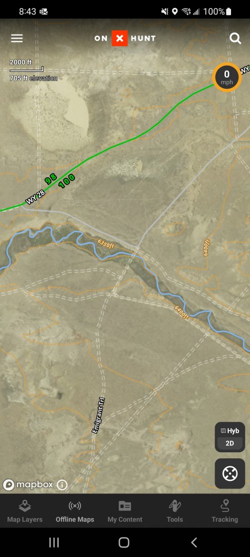
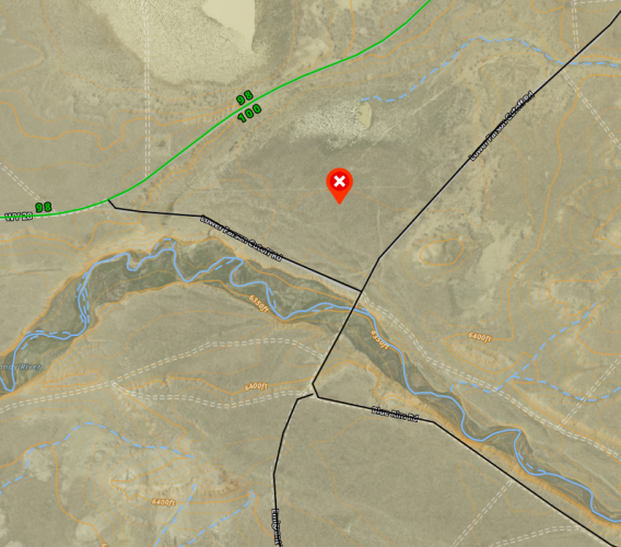
Ask your onX Hunt questions here!

The real problem is actually putting so much trust in that little blue arrow. Technology is great and all, but a compass, a topo map and a little practice using them combined with some common sense goes a long ways.
Get on up on your high horse.
The point of the topic is to simply report and resolve software glitches. Every hunter understands it is their responsibility to navigate.
 

Attachments

  • 60EC55C1-FD8F-4265-9FD5-C70A047C8B57.jpeg
    60EC55C1-FD8F-4265-9FD5-C70A047C8B57.jpeg
    198.4 KB · Views: 4
@Khunter @Jim Anderson @bryan79

We pull the location from the device itself so it comes from the settings on your phone; this page here (GPS Settings) has a few processes that you can walk through on your phone to reset those to give you the most accurate location. If you're still having issues, give us a call at 406-540-1600 so we can test a few other things.
Hey that did it! Thank you.
 
The real problem is actually putting so much trust in that little blue arrow. Technology is great and all, but a compass, a topo map and a little practice using them combined with some common sense goes a long ways.
The REAL problem is busy-body Karens like you who don’t know me, nor my abilities, from Adam, yet feel the need to spout off on here.
 
Reached out to onX yesterday with a question for when 3D will be available on Android devices. Response was they are close to releasing it. Just a couple bugs to work out then they will release it very soon!
 
@onX Hunt Couple improvements I'd like to see
- free hand line. Basically draw your own trail instead of using the line distance
- group feature. Be able to have a group of friends that I can share points with without texting each one. Hunt Stand has this feature and it is very handy when hunting with a large group or when escorting for a out of state hunt.
 
The REAL problem is busy-body Karens like you who don’t know me, nor my abilities, from Adam, yet feel the need to spout off on here.
I never said one thing about your abilities. My comment wasn't even directed towards you, my comment was directed at Khunters comment about the real problem being following that little blue arrow on your app. I have seen too many people get in a lot of trouble by putting too much faith in their GPS.

Even if you don't know which way your going your onx app map plus a simple compass will get you a lot further than putting all your trust in that blue arrow.

Like I said my comment wasn't directed at you or khunter in the least bit I was just stating a fact that people in general put too much trust in technology. That is evident by the fact that the simple fix that OnX suggested you try worked to fix your problem.

Now to not derail this thread anymore I'm done commenting.
 
@onX Hunt can we change the satellite image we get in OnX? The image I get must have been taken in the dead of winter with heavy snow pack in the mountains throughout all of Wyoming's mountain ranges. It provided very little on the ground detail due to heavy snow pack. Is there a way to access non-dead of winter satellite imagery or are we only stuck with that one image?
 

Attachments

  • Untitled presentation.jpg
    Untitled presentation.jpg
    101.5 KB · Views: 5
If I'm using my Onx account from my computer, the content I create does not show up on my phone app. It does however work the other way around. Content created on my phone will quickly show up. Image from the website with a few lines I created as an example:
1661780543769.png

Here is how my phone looks:

Screenshot_20220829-084310_onX Hunt.jpg


I then added a waypoint on my phone and within seconds, here it is on my computer:
1661780729877.png

Any ideas anyone?
 
You'll want to ensure you both have the most updated version of the app as that could be causing an issue. Feel free to shoot us a message or give us a call at 406-540-1600 so we can gather more information if you're still having issues after updating.
Same issue, updating the onx app didn't help.
 
@onX Hunt can we change the satellite image we get in OnX? The image I get must have been taken in the dead of winter with heavy snow pack in the mountains throughout all of Wyoming's mountain ranges. It provided very little on the ground detail due to heavy snow pack. Is there a way to access non-dead of winter satellite imagery or are we only stuck with that one image?
THIS!!!

Please OnX....update your baselayers and use ones without snowcover. I talked to an employee based here in Missoula this summer who told me this was in the works. Whats up?
 
THIS!!!

Please OnX....update your baselayers and use ones without snowcover. I talked to an employee based here in Missoula this summer who told me this was in the works. Whats up?
my hunts in a week so likely too late for me
 
How come every time I think I’m turned around, the map shows that Im looking uphill when I’m clearly looking downhill!?
 
When I look at a state I want to hunt (MN) on my computer, I find 6 layers for that state, including one that is new and says "Forest Disturbance". When I look at OnX on my phone this layer is not available. It isn't in the layer library, and the disturbances that I can see mapped on the computer are missing on the phone.

What am I doing wrong?
 
Appreciate that!
So here is what customer service said at OnX. “Good, when you hit that crosshair in the bottom right twice it'll also pop up a compass icon in the top right, click on that and it will unlock rotation (instead of always pointing north).” So…it doesn’t seem to work? Let me know if it does for you-
 
So here is what customer service said at OnX. “Good, when you hit that crosshair in the bottom right twice it'll also pop up a compass icon in the top right, click on that and it will unlock rotation (instead of always pointing north).” So…it doesn’t seem to work? Let me know if it does for you-
Works for me every time. If you move your map off from your position it will quit rotating though.
 
When I look at a state I want to hunt (MN) on my computer, I find 6 layers for that state, including one that is new and says "Forest Disturbance". When I look at OnX on my phone this layer is not available. It isn't in the layer library, and the disturbances that I can see mapped on the computer are missing on the phone.

What am I doing wrong?
The first thing to do is make sure you're on the most updated version of the App. We made some changes to the layer system this summer and if you're not on the newer version, things won't work like they do on your computer. If you're on the most updated version, try logging out and logging back in, that can refresh things and get them working correctly. If neither of those actions work, send us an email at [email protected] or call (406) 540-1600 and our Customer Support team can take a look at your account and get everything straightened out.
 
If I'm using my Onx account from my computer, the content I create does not show up on my phone app. It does however work the other way around. Content created on my phone will quickly show up. Image from the website with a few lines I created as an example:
View attachment 236643

Here is how my phone looks:

View attachment 236651


I then added a waypoint on my phone and within seconds, here it is on my computer:
View attachment 236649

Any ideas anyone?
First, try closing out of the App and then reopening it, that should force your markups to sync up. If they don't show, check if you have any of those markups added to a folder. If so, double check that the button titled "Hide on map" is not selected. That will cause those markups to not show on your map. IF they still don't want to sync over, our Customer Service team can dig into your account and see what is going on. You can email them at [email protected] or call (406) 540-1600.
 
@onX Hunt can we change the satellite image we get in OnX? The image I get must have been taken in the dead of winter with heavy snow pack in the mountains throughout all of Wyoming's mountain ranges. It provided very little on the ground detail due to heavy snow pack. Is there a way to access non-dead of winter satellite imagery or are we only stuck with that one image?
Thanks for the feedback, I will be sure to pass that along to our Mapping Team. I know they are constantly looking for new and better imagery. Unfortunately, available imagery sources are a bit limited, but we will do our best to get an image that was taken without snow cover.
 
Kenetrek Boots

Latest posts

Forum statistics

Threads
114,009
Messages
2,041,038
Members
36,429
Latest member
Dusky
Back
Top