D
Deleted member 28227
Guest
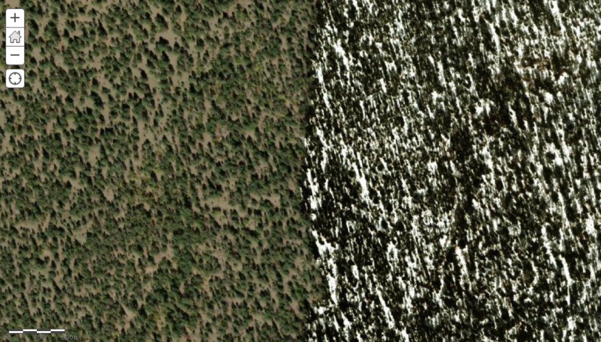
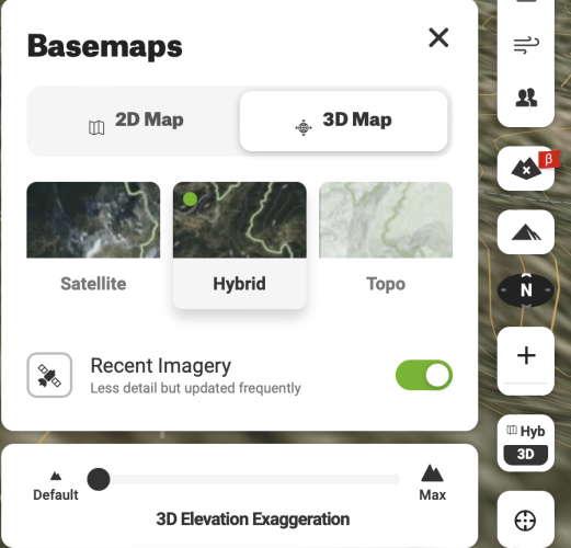
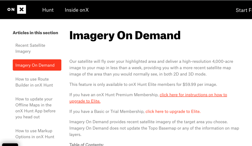
For a second I thought about asking “how many f&/@!ing satellites are there taking pictures?”. Seems Mapbox uses a variety of both commercial and public images. I remain convinced the date is attached to the file, so the puzzle is unsolved.
View attachment 275996

National Agriculture Imagery Program - NAIP Hub Site
The National Agriculture Imagery Program (NAIP) GeoHub site provides a place for users to search, discover, and visualize NAIP imagery.
naip-usdaonline.hub.arcgis.com

Mapping & Aerial Acquisition for Gov. Agencies | Surdex Corporation
Surdex has provided digital mapping and GIS services for every level of government and federal agencies including NAIP, USACE, USGS, BLM, and NGA.
DigitalGlobe | Leader in satellite imagery
DigitalGlobe pioneered and continues to lead remote sensing innovation, making geospatial data and insights more accessible and more valuable to all industrie


