Nameless Range
Well-known member
This is another thread prompted by the most recent Hunt Talk podcast. In that podcast, Randy did not sound hopeful that the issue of Corner Crossing would be resolved cleanly. I agree. I have been hearing about corner crossing all of my adult life, and I would be willing to bet that 15 years from now little progress will have been made on corner crossing if the status quo of hoping someone will just legalize it continues. This would not resolve the civil trespass issues anyway.
So I am proposing a way to work through the corner crossing issue. Maybe this is a bad idea because it would legitimize anti-corner-crossing folks’ positions, like asking for permission when it is unneeded. I think this issue is complicated, and is not as black and white as we wish it were, so here is a possible way forward:
Analysis:
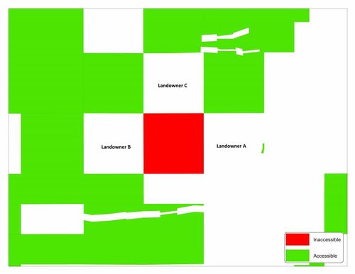
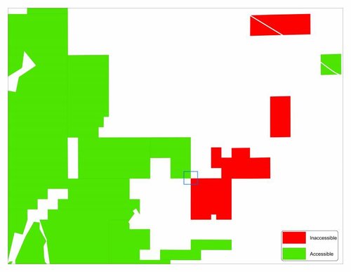
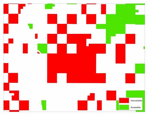
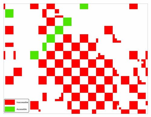
Using GIS, a spatial analysis can be done to identify all inaccessible public lands (for hunting). Those would be parcels that:
• Do not intersect a navigable stream
• Do not intersect a public road
• Do not share a line segment with already accessible lands
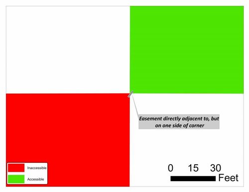
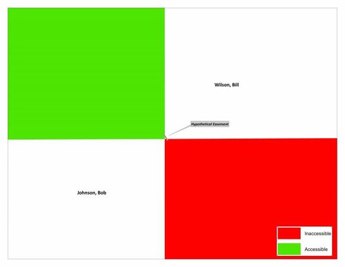
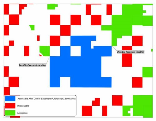
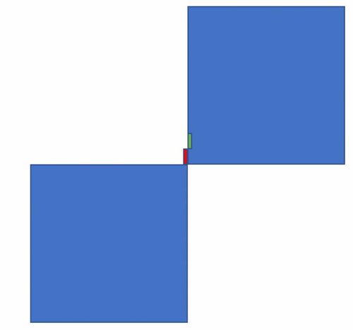
Next, using that inaccessible lands dataset, on a parcel by parcel basis, all lines could be converted to vertices. By identifying distinct parcels that have only one vertex identical to another on a separate parcel in the accessible lands dataset, one could identify parcels that would become accessible through their corners.
From this list of corners, we could rank them in terms of how much access they could provide in terms of acres, if it were possible to gain access through them.

Last edited:


