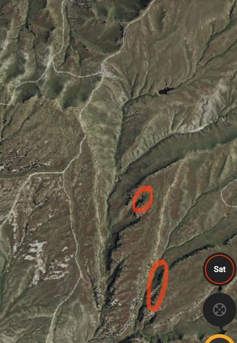
Flatlander3
Active member
Well I feel like this could be very beneficial to alot of folks or this thread could slide down the forum list to be forgotten about.
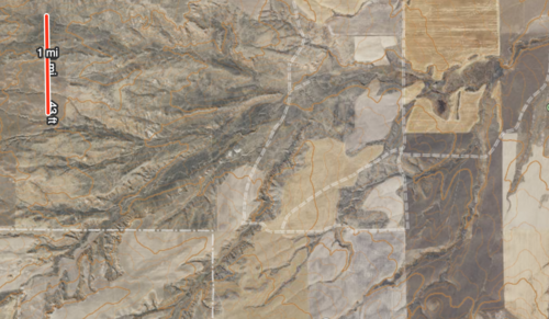
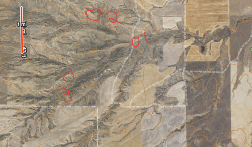
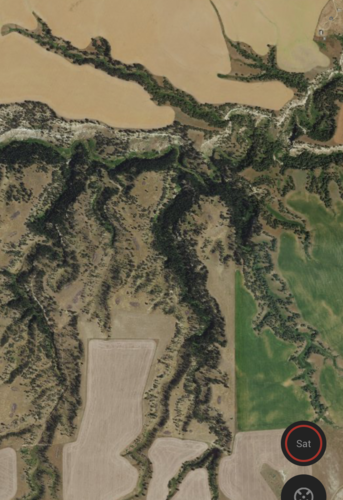
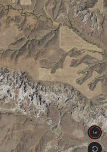
I thought it would be a cool thread to take snips of topo maps, google earth images, etc. of areas you target for Mule deer and point out key areas. This can be of random areas you have never visited or your secret honey hole (protecting the location of course). I think no one should include roads or parcel data (public land names, private owner names, etc) or any other location identification keys to protect all spots either you or someone else likes.
I love e scouting, as many of you probably do, but I don't have alot of Mule deer experience. Just curious for things people look for with real images that peoplecan relate to other areas.(north slopes with south feeding slopes close, water and bedding, etc.).
Last edited:


