np307
Well-known member
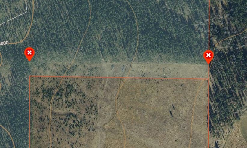
Seems like most of the forest service GIS data is off for the middle portion of our state. Lots of property lines are shifted west by around 25 yards. You can see it in the cutover lines from timber section to timber section. If it were just one, I'd write it off. But it's like an entire national forest's worth of data. And its not OnX's fault, I checked the actual county GIS data and the state KMZ files and they're off as well.


