hammer3332
New member
- Joined
- Feb 7, 2020
- Messages
- 3
Hey all,
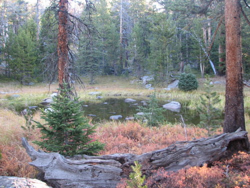
I am from the Midwest and primarily hunt whitetails (shocker). I have been on one 6 day 3rd season rifle elk hunt in Colorado with a buddy and we were “early” or in lower elevations. Didn’t see an elk until the last day, and didn’t harvest anything. We are now planning an OTC archery hunt and have some areas picked out. It looks like where we will be hunting is pretty dry so far this year. Since I am unable to get boots on the ground, how do you e-scout for hard to reach water sources? Do you look at elevation gain and loss? Do you look at slope and distance? How far off of a trail is hard to reach? I have limited experience with topo maps in mountain country, so trying to get a barometer on sucky terrain vs easy terrain.
Thanks in advance!


